
At one point or another, you’ve probably heard of the incredible journey of Lewis and Clark who explored the American West. Over 200 years ago they journeyed into what was then an unknown territory. Fortunately, it is now forever preserved as one of the nation’s most impressive National Historic Trails.
The Lewis and Clark National Historic Trail stretches approximately 4,900 miles, tracing the footsteps of one of the most famous expeditions in American history. This trail holds immense importance in the archives of the nation’s past, representing a remarkable feat of exploration and a pivotal moment of discovery and interaction between diverse cultures.
But what exactly makes up this trail, and how does its length compare to other famous routes in American history? Keep reading to discover the significance of this iconic trail and what you can expect to find along its path.
Background

Historical Context of the Expedition
First off, the Lewis and Clark Expedition, also known as the Corps of Discovery, was commissioned by President Thomas Jefferson in 1803. Its primary aim was to explore the vast western territory acquired through the Louisiana Purchase. Meriwether Lewis and William Clark, both experienced frontiersmen and military officers, were chosen to lead this ambitious journey into the unknown.
This expedition took place at a time when the United States was rapidly expanding westward, fueled by a spirit of exploration, trade ambitions, and the desire to establish sovereignty over newly acquired lands. The journey was not only an exploration of geography but also of diplomacy, as Lewis and Clark sought to establish peaceful relations with Native American tribes encountered along the way.
Purpose of the Expedition
Importantly, the primary goal of the Lewis and Clark expedition was to chart a route to the Pacific Ocean, exploring and documenting the vast wilderness of the American West. President Jefferson was keenly interested in scientific discovery and hoped the expedition would also gather valuable information about the region’s plants, animals, and indigenous peoples.
Additionally, the expedition aimed to assert American sovereignty over the newly acquired Louisiana Territory and establish trade relations with Native American tribes. Its success would open up opportunities for future settlement and economic development on the western frontier.
Creation of the Lewis and Clark National Historic Trail
Years later, Congress established the Lewis and Clark National Historic Trail in 1978 to commemorate the historic journey of Lewis and Clark and their Corps of Discovery. The trail follows the approximate route taken by the expedition from Illinois to the Pacific Coast, passing through multiple states and countless landscapes.
Designated as a unit of the National Park Service, the Lewis and Clark National Historic Trail preserves and interprets the cultural and natural resources associated with the expedition. It serves as an outstanding link to America’s past, allowing you to explore the history, landscapes, and cultures encountered by Lewis and Clark over two centuries ago.
Route and Length
Overview of the Route Taken by Lewis and Clark
Interestingly, the Lewis and Clark route can be divided into three main phases: the journey up the Missouri River, the crossing of the Rocky Mountains, and the descent to the Pacific Ocean. Departing from St. Louis, Missouri, in May 1804, the expedition traveled northwest along the Missouri River, charting its course through the vast wilderness of the Great Plains.
As they progressed upstream, Lewis and Clark encountered varied terrain, navigational challenges, and interactions with Native American tribes. After reaching the headwaters of the Missouri River, the expedition crossed the Continental Divide and descended the Columbia River to the Pacific Coast.
Exploration of the Length of the Trail
From St. Louis, Missouri to the Pacific Coast: The Lewis and Clark National Historic Trail spans approximately 4,900 miles from St. Louis, Missouri, to the Pacific Coast near present-day Astoria, Oregon. This extensive route encompasses a variety of landscapes, including prairies, forests, rivers, and mountains, reflecting the geographical diversity of the American West.
Distance covered by the expedition: Over the course of their expedition, Lewis and Clark covered a total distance of around 8,000 miles, including the outbound and return journeys. This figure accounts for the meandering path taken by the expedition as they navigated rivers, explored tributaries, and made detours to establish diplomatic relations with Native American tribes.
Modern-day interpretation of the trail’s length: In modern times, the Lewis and Clark National Historic Trail is not a contiguous footpath like many other long-distance trails. Instead, it is a commemorative route marked by interpretive signs, historical sites, and scenic byways that follow the general path of the expedition. While the official length of the trail remains approximately 4,900 miles, variations may exist due to changes in land use, development, and accessibility.
Moreover, understanding the length of the Lewis and Clark National Historic Trail provides insight into the magnitude of the expedition and the challenges faced by Lewis and Clark as they ventured into uncharted territory. Exploring this historic route allows you to trace the footsteps of these pioneering explorers and gain a deeper appreciation for their remarkable journey across the American West.
Features Along the Trail
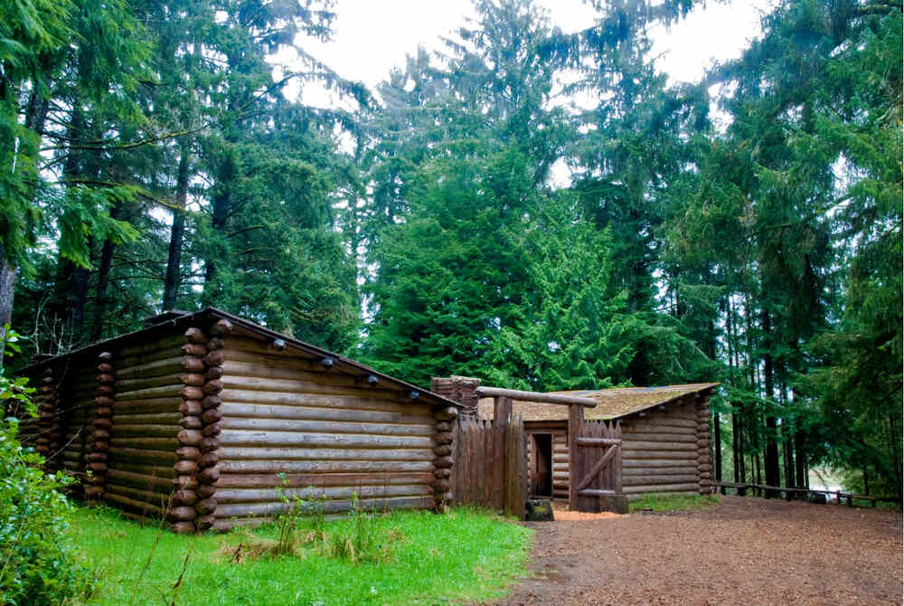
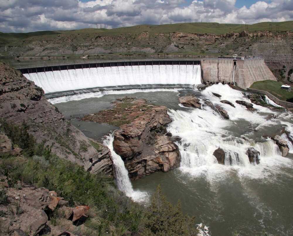
Significant landmarks: The Lewis and Clark National Historic Trail boasts significant landmarks such as Fort Mandan, where the expedition spent the winter of 1804-1805, Pompeys Pillar with William Clark’s signature, the formidable Great Falls of the Missouri, and the majestic Beacon Rock.
Points of interest: Along the route, explore points of interest, including Native American villages, preserved campsites, and historic towns. These locations offer insights into the expedition’s interactions with indigenous peoples and frontier life.
Natural wonders: Encounter breathtaking natural wonders like the rugged Missouri Breaks, the scenic Columbia River Gorge, and the iconic Rocky Mountains. These landscapes showcase the unique beauty of the American West.
Interpretive centers and museums along the route: Visit interpretive centers and museums such as the Lewis and Clark National Historic Trail Interpretive Center in Great Falls, Montana, the Lewis and Clark National Historic Park in Astoria, Oregon, and the Lewis and Clark Interpretive Center in Sioux City, Iowa. These facilities provide in-depth exhibits and educational programs that highlight the expedition’s history and significance.
Final Thoughts
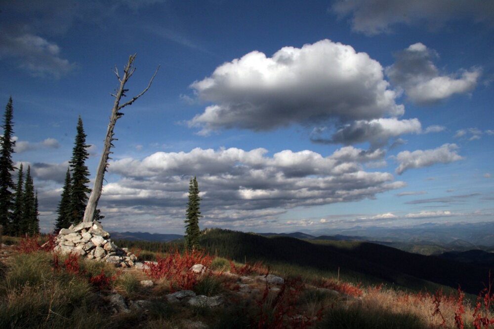
In summary, the Lewis and Clark National Historic Trail stands as a testament to the spirit of exploration and discovery that shaped America’s history.
This iconic route commemorates the groundbreaking expedition led by Meriwether Lewis and William Clark, which not only expanded the nation’s geographic knowledge but also fostered diplomatic relations with Native American tribes and paved the way for westward expansion.
Traversing approximately 4,900 miles from St. Louis to the Pacific Coast, this trail allows a tangible connection to the past and invites modern-day adventurers to follow in the footsteps of these pioneering explorers.
I WOULD LOVE TO HEAR FROM YOU! Scroll to the bottom to leave a comment about a trip you’ve taken to any part of the Lewis and Clark Trail. I love history and would love to hear about your experiences.
National Parks List, Map, and Complete Guide (All 63 Parks + Downloadable List & Map)
Want a FREE complete list and recap of all our US National Parks as well as downloadable maps and other great resources? Check out our US National Parks List and Map guide!

National Parks Scratch Off Map of United States
Best Travel Gifts to Track Your Travels and Adventures! Check out the top-selling US National Parks Map Poster of the United States!

FAQ’S
Can you drive the Lewis and Clark National Historic Trail?
Yes, you can drive the Lewis and Clark National Historic Trail, as it follows roads and highways across the United States.
How long would it take to walk the Lewis and Clark Trail?
Walking the entire Lewis and Clark Trail would take several months to years, depending on individual pace and route variations.
What trail did Lewis and Clark follow?
Lewis and Clark followed various trails and waterways, including the Missouri River, to reach the Pacific Coast. You can read more about it in the above article.
Can you walk the entire Lewis and Clark Trail?
Yes, but it requires careful planning due to its length and varied terrain.
Where does the Lewis and Clark Trail start and end?
The Lewis and Clark Trail starts in St. Louis, Missouri, and ends near the Pacific Coast in Oregon.
Is there a road that follows the Lewis and Clark Expedition?
Yes, some roads closely follow the path of the Lewis and Clark Expedition, making it accessible by car.
Is the Lewis and Clark Trail marked?
Parts of the Lewis and Clark Trail are marked with interpretive signs and monuments. Still, it is not continuously marked along its entire length.
What 3 tribes did Lewis and Clark meet?
Lewis and Clark encountered many Native American tribes, including the Shoshone, Mandan, and Nez Perce.
What tribe first met with Lewis and Clark?
The first tribe Lewis and Clark met on their journey was the Mandan tribe in present-day North Dakota.
What tribe was Sacagawea from?
Sacagawea was a member of the Shoshone tribe.
